
Alto topographic map
Click on the map to display elevation.
Alto
Alto was so named on account of its (relatively) lofty elevation (1,394 feet above mean sea level). A post office called Alto has been in operation since 1879. The town incorporated in 1895.
About this map
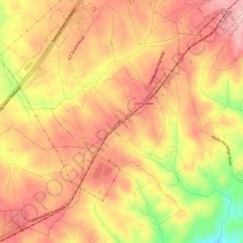
Name: Alto topographic map, elevation, terrain.
Location: Alto, Banks County, Georgia, 30510, United States (34.44732 -83.59378 34.48732 -83.55378)
Average elevation: 1,325 ft
Minimum elevation: 971 ft
Maximum elevation: 1,506 ft
Banks County trails, hiking, mountain biking, running and outdoor activities