Geolocate

villas pool topographic map

Click on the map to display elevation.

About this map

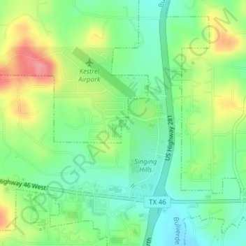
Name: villas pool topographic map, elevation, terrain.

Location: villas pool, Bulverde, Comal County, Texas, United States (29.80623 -98.42375 29.80637 -98.42351)

Average elevation: 1,240 ft

Minimum elevation: 1,122 ft

Maximum elevation: 1,434 ft

Comal County trails, hiking, mountain biking, running and outdoor activities

Gear up for your next adventure:

🪶Thermal Camp Blanket - Extra warmth for cold nights
🎁Geography Themed Gifts - Unique gift ideas for map lovers and geography enthusiasts
👟Trail Running Shoes - Lightweight shoes for trail runners
Backpacking Tent - Lightweight and durable tent for multi‑day hikes
📚USA Hiking Guide Books - Top trail guides and map books

As an Amazon Associate, this site earns from qualifying purchases at no extra cost to you.