Lebo topographic map
Interactive map
Click on the map to display elevation.
About this map
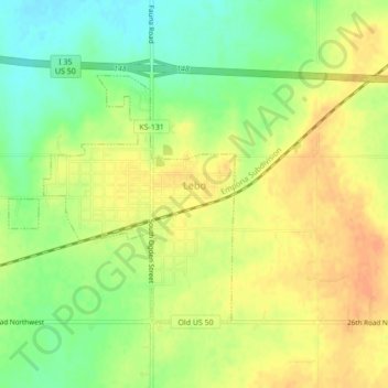
Name: Lebo topographic map, elevation, terrain.
Location: Lebo, Coffey County, Kansas, United States (38.40474 -95.89169 38.42703 -95.84856)
Average elevation: 1,152 ft
Minimum elevation: 1,083 ft
Maximum elevation: 1,201 ft
Other topographic maps
Click on a map to view its topography, its elevation and its terrain.
Gridley
United States > Kansas > Coffey County
Gridley, Coffey County, Kansas, United States
Average elevation: 1,148 ft
New Strawn
United States > Kansas > Coffey County
New Strawn, Coffey County, Kansas, United States
Average elevation: 1,102 ft
Waverly
United States > Kansas > Coffey County
Waverly, Coffey County, Kansas, United States
Average elevation: 1,129 ft
Burlington
United States > Kansas > Coffey County
Burlington, Coffey County, Kansas, United States
Average elevation: 1,033 ft
LeRoy
United States > Kansas > Coffey County
LeRoy, Coffey County, Kansas, 66857, United States
Average elevation: 1,004 ft