Geolocate

Salboni topographic map

Click on the map to display elevation.

About this map

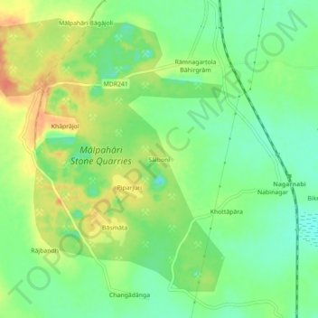
Name: Salboni topographic map, elevation, terrain.

Location: Salboni, Pakaur, Pakur District, Jharkhand, 816107, India (24.57277 87.83041 24.61277 87.87041)

Average elevation: 112 ft

Minimum elevation: 43 ft

Maximum elevation: 197 ft

Gear up for your next adventure:

🔥Fast-Boil Camping Stoves - Efficient cooking systems for quick trail meals
📡GPS Antenna Upgrade - Enhance GPS reception in remote terrain
GPS Sports Watch - GPS watch for running, hiking and training
📱Heavy-Duty Phone Cases - Drop-proof and waterproof protection for outdoor navigation
👖Convertible Hiking Pants - Versatile zip-off pants for changing altitudes and temperatures

As an Amazon Associate, this site earns from qualifying purchases at no extra cost to you.