Geolocate

Cimi topographic map

Click on the map to display elevation.

About this map

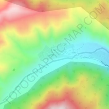
Name: Cimi topographic map, elevation, terrain.

Location: Cimi, Quba District, Quba - Khachmaz, Azerbaijan (41.04978 48.55998 41.05571 48.58422)

Average elevation: 4,747 ft

Minimum elevation: 3,957 ft

Maximum elevation: 5,846 ft

Gear up for your next adventure:

🧢Outdoor Hiking Hat - Sun protection hat for outdoor explorers
🏫Relief Map Kits - Hands-on tools for teaching landforms and elevation
🗃️Trail First Aid Kit - Essential kit for outdoor injuries and emergencies
🛏️Cold Weather Sleeping Bag - Warm sleeping bag for cold conditions
🔌USB Car Charger - Car charger for on‑the‑go power needs

As an Amazon Associate, this site earns from qualifying purchases at no extra cost to you.