
Thank you for supporting this site ❤️
Make a donation
Make a donation
Gear up for your next adventure:
As an Amazon Associate, this site earns from qualifying purchases at no extra cost to you.
Kampung Terachi topographic map
Click on the map to display elevation.
Thank you for supporting this site ❤️
Make a donation
Make a donation
Gear up for your next adventure:
As an Amazon Associate, this site earns from qualifying purchases at no extra cost to you.
About this map
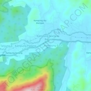
Name: Kampung Terachi topographic map, elevation, terrain.
Location: Kampung Terachi, Kuala Pilah, Negeri Sembilan, Malaysia (2.72254 102.11829 2.76254 102.15829)
Average elevation: 551 ft
Minimum elevation: 318 ft
Maximum elevation: 1,818 ft
Thank you for supporting this site ❤️
Make a donation
Make a donation
Gear up for your next adventure:
As an Amazon Associate, this site earns from qualifying purchases at no extra cost to you.