
Pantai Tanjung Pasir topographic map
Interactive map
Click on the map to display elevation.
About this map
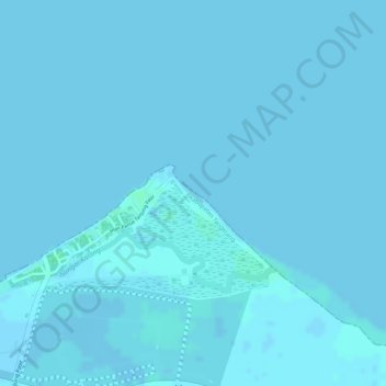
Name: Pantai Tanjung Pasir topographic map, elevation, terrain.
Location: Pantai Tanjung Pasir, Tangerang Regency, Banten, Indonesia (-6.01647 106.67931 -6.01284 106.68275)
Average elevation: 0 ft
Minimum elevation: -3 ft
Maximum elevation: 13 ft
Other topographic maps
Click on a map to view its topography, its elevation and its terrain.
MEKARSARI
Indonesia > Banten > Tangerang Regency > MEKARSARI
MEKARSARI, Tangerang Regency, Banten, Indonesia
Average elevation: 171 ft