Geolocate

Kulang topographic map

Click on the map to display elevation.

About this map

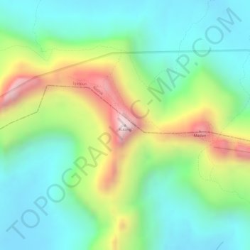
Name: Kulang topographic map, elevation, terrain.

Location: Kulang, Akola, Ahmednagar, Maharashtra, India (19.59021 73.64015 19.59031 73.64025)

Average elevation: 3,340 ft

Minimum elevation: 2,625 ft

Maximum elevation: 4,675 ft

Other topographic maps

Click on a map to view its topography, its elevation and its terrain.

Nizampur

India > Maharashtra > Akola

Average elevation: 919 ft

Gear up for your next adventure:

🥾Men's Hiking Boots - Durable, waterproof footwear for rugged terrain and steep inclines
📻Weather Alert Radios - Stay informed of storm risks while off-the-grid
🪶Camping Sleeping Pad - Comfortable sleeping pad for backpacking
🥾Women's Hiking Boots - Top-rated trail boots with ankle support and superior grip
📌Outdoor GPS Map App - Apps and devices for digital topographic navigation

As an Amazon Associate, this site earns from qualifying purchases at no extra cost to you.