Geolocate

Edinburgh topographic map

Click on the map to display elevation.

About this map

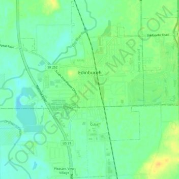
Name: Edinburgh topographic map, elevation, terrain.

Location: Edinburgh, Johnson County, Indiana, United States (39.33215 -85.98600 39.36909 -85.94281)

Average elevation: 673 ft

Minimum elevation: 636 ft

Maximum elevation: 722 ft

Johnson County trails, hiking, mountain biking, running and outdoor activities

Other topographic maps

Click on a map to view its topography, its elevation and its terrain.

Nineveh

United States > Indiana > Johnson County

Average elevation: 781 ft

Green Valley

United States > Indiana > Johnson County > Greenwood

Average elevation: 784 ft

Gear up for your next adventure:

🎒Trail Energy Bars - High‑calorie bars for hiking energy
🪄Magnetic Compass - Accurate compass for navigation
🧼Biodegradable Camping Soap - Eco‑friendly soap for outdoor hygiene
❄️Traction Cleats - Prevent slips on icy trails during winter hikes
🪶Survival Guide Book - Expert advice for emergency preparedness

As an Amazon Associate, this site earns from qualifying purchases at no extra cost to you.