
Thank you for supporting this site ❤️
Make a donation
Make a donation
Gear up for your next adventure:
As an Amazon Associate, this site earns from qualifying purchases at no extra cost to you.
Renfrow topographic map
Click on the map to display elevation.
Thank you for supporting this site ❤️
Make a donation
Make a donation
Gear up for your next adventure:
As an Amazon Associate, this site earns from qualifying purchases at no extra cost to you.
About this map
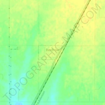
Name: Renfrow topographic map, elevation, terrain.
Location: Renfrow, Grant County, Oklahoma, United States (36.92311 -97.66051 36.92678 -97.65198)
Average elevation: 1,211 ft
Minimum elevation: 1,168 ft
Maximum elevation: 1,234 ft
Grant County trails, hiking, mountain biking, running and outdoor activities
Thank you for supporting this site ❤️
Make a donation
Make a donation
Gear up for your next adventure:
As an Amazon Associate, this site earns from qualifying purchases at no extra cost to you.