
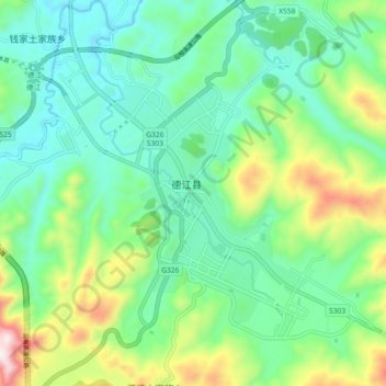
青龙镇 topographic map
Interactive map
Click on the map to display elevation.
About this map
Name: 青龙镇 topographic map, elevation, terrain.
Location: 青龙镇, 德江县, 贵州省, 565200, 中国 (28.22440 108.07300 28.30440 108.15300)
Average elevation: 2,031 ft
Minimum elevation: 1,398 ft
Maximum elevation: 3,681 ft