Geolocate

Llanrhos topographic map

Click on the map to display elevation.

About this map

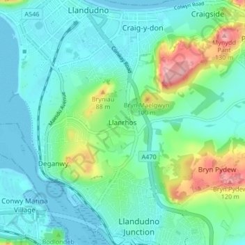
Name: Llanrhos topographic map, elevation, terrain.

Location: Llanrhos, Conwy, Wales, LL30 1SL, United Kingdom (53.28410 -3.83500 53.32410 -3.79500)

Average elevation: 95 ft

Minimum elevation: 0 ft

Maximum elevation: 420 ft

Gear up for your next adventure:

🔋Solar Power Banks - Keep your GPS and phone charged in remote wilderness areas
🎒Waterproof Dry Bags - Keep your electronics and maps dry inside your pack
🚑Emergency Bivvies - Heat-reflective sleeping bags for survival situations
🏕️Family Camping Gear - Essentials for group camping trips
🛰️Handheld GPS Units - Professional satellite navigators for precise backcountry mapping

As an Amazon Associate, this site earns from qualifying purchases at no extra cost to you.