
Thank you for supporting this site ❤️
Make a donation
Make a donation
Gear up for your next adventure:
As an Amazon Associate, this site earns from qualifying purchases at no extra cost to you.
Kochen topographic map
Click on the map to display elevation.
Thank you for supporting this site ❤️
Make a donation
Make a donation
Gear up for your next adventure:
As an Amazon Associate, this site earns from qualifying purchases at no extra cost to you.
About this map
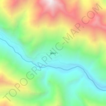
Name: Kochen topographic map, elevation, terrain.
Location: Kochen, དཔལ་འབར་རྫོང 边坝县, Qamdo, Tibet, China (30.67768 93.86479 30.71768 93.90479)
Average elevation: 15,256 ft
Minimum elevation: 13,340 ft
Maximum elevation: 18,248 ft
Thank you for supporting this site ❤️
Make a donation
Make a donation
Gear up for your next adventure:
As an Amazon Associate, this site earns from qualifying purchases at no extra cost to you.