
Thank you for supporting this site ❤️
Make a donation
Make a donation
Gear up for your next adventure:
As an Amazon Associate, this site earns from qualifying purchases at no extra cost to you.
Ayagoz topographic map
Click on the map to display elevation.
Thank you for supporting this site ❤️
Make a donation
Make a donation
Gear up for your next adventure:
As an Amazon Associate, this site earns from qualifying purchases at no extra cost to you.
About this map
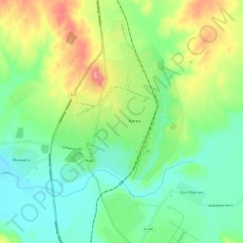
Name: Ayagoz topographic map, elevation, terrain.
Location: Ayagoz, Ayagoz District, Abay Region, 070201, Kazakhstan (47.92512 80.39660 48.00512 80.47660)
Average elevation: 2,169 ft
Minimum elevation: 2,044 ft
Maximum elevation: 2,411 ft
Thank you for supporting this site ❤️
Make a donation
Make a donation
Gear up for your next adventure:
As an Amazon Associate, this site earns from qualifying purchases at no extra cost to you.