
R4a topographic map
Click on the map to display elevation.
About this map
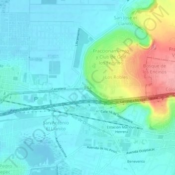
Name: R4a topographic map, elevation, terrain.
Location: R4a, Lerma, State of Mexico, 52005, Mexico (19.26511 -99.50825 19.30511 -99.46825)
Average elevation: 8,497 ft
Minimum elevation: 8,419 ft
Maximum elevation: 8,786 ft