Geolocate

Banya topographic map

Click on the map to display elevation.

About this map

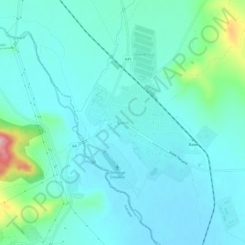
Name: Banya topographic map, elevation, terrain.

Location: Banya, Karlovo, Plovdiv, 4360, Bulgaria (42.52483 24.80972 42.56483 24.84972)

Average elevation: 997 ft

Minimum elevation: 899 ft

Maximum elevation: 1,493 ft

Other topographic maps

Click on a map to view its topography, its elevation and its terrain.

Южен

Bulgaria > Plovdiv

Average elevation: 568 ft

Източен

Bulgaria > Plovdiv

Average elevation: 522 ft

Hisaria

Bulgaria > Plovdiv

Average elevation: 1,719 ft

Южен

Bulgaria > Plovdiv

Average elevation: 568 ft

Централен

Bulgaria > Plovdiv

Average elevation: 551 ft

Gear up for your next adventure:

🖼️Topo Map Wall Art - Decorative topographic prints of famous peaks and regions
🏕️Tent Footprint - Protect your tent base from wear
🧥Waterproof Jacket for Hiking - Breathable and rugged rain jacket for outdoor excursions
🧣Hiking Neck Gaiter - Multi‑use neck protection for outdoor weather
🌡️Portable Weather Meter - Track weather conditions on the trail

As an Amazon Associate, this site earns from qualifying purchases at no extra cost to you.