
Sturgis topographic map
Click on the map to display elevation.
About this map
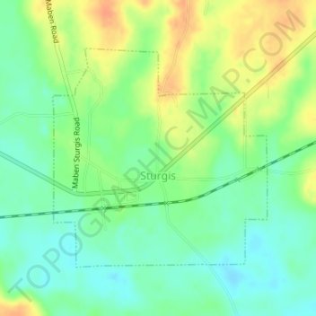
Name: Sturgis topographic map, elevation, terrain.
Location: Sturgis, Oktibbeha County, Mississippi, United States (33.33670 -89.05614 33.35543 -89.03417)
Average elevation: 341 ft
Minimum elevation: 285 ft
Maximum elevation: 413 ft
Oktibbeha County trails, hiking, mountain biking, running and outdoor activities