Geolocate

Imperial topographic map

Click on the map to display elevation.

About this map

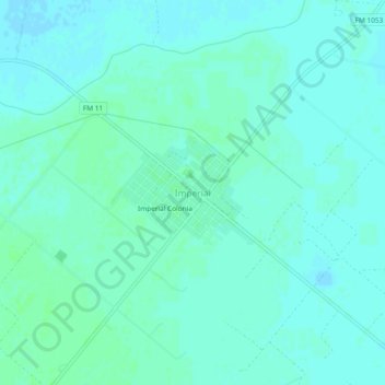
Name: Imperial topographic map, elevation, terrain.

Location: Imperial, Pecos County, Texas, 79743, United States (31.25368 -102.71400 31.29368 -102.67400)

Average elevation: 2,395 ft

Minimum elevation: 2,385 ft

Maximum elevation: 2,408 ft

Pecos County trails, hiking, mountain biking, running and outdoor activities

Other topographic maps

Click on a map to view its topography, its elevation and its terrain.

Iraan

United States > Texas > Pecos County

Average elevation: 2,244 ft

Gear up for your next adventure:

🪶Wildlife Field Guides - Learn animal tracking and species ID
🔭Compact Binoculars - HD vision for scouting terrain and identifying distant landmarks
🛡️Bear Spray Outdoor - Protection in bear country hikes
🕶️Glacier Sunglasses - Side shields to protect eyes from high-altitude snow glare
🌄Hiking Binoculars - Compact binoculars for scenic views and trail spotting

As an Amazon Associate, this site earns from qualifying purchases at no extra cost to you.