
Make a donation
Gear up for your next adventure:
As an Amazon Associate, this site earns from qualifying purchases at no extra cost to you.
Seabrook topographic map
Click on the map to display elevation.
Make a donation
Gear up for your next adventure:
As an Amazon Associate, this site earns from qualifying purchases at no extra cost to you.
Seabrook
Seabrook takes its name from Thomas Seabrook, who was a topographical engineer with the Pennsylvania Railroad. He originally built three cottages and a park with fenced-in tame deer in the area near the rail station[5] in the early 1870s.
Make a donation
Gear up for your next adventure:
As an Amazon Associate, this site earns from qualifying purchases at no extra cost to you.
About this map
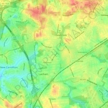
Name: Seabrook topographic map, elevation, terrain.
Average elevation: 161 ft
Minimum elevation: 72 ft
Maximum elevation: 246 ft
Make a donation
Gear up for your next adventure:
As an Amazon Associate, this site earns from qualifying purchases at no extra cost to you.