
Thank you for supporting this site ❤️
Make a donation
Make a donation
Gear up for your next adventure:
As an Amazon Associate, this site earns from qualifying purchases at no extra cost to you.
Mongola topographic map
Click on the map to display elevation.
Thank you for supporting this site ❤️
Make a donation
Make a donation
Gear up for your next adventure:
As an Amazon Associate, this site earns from qualifying purchases at no extra cost to you.
About this map
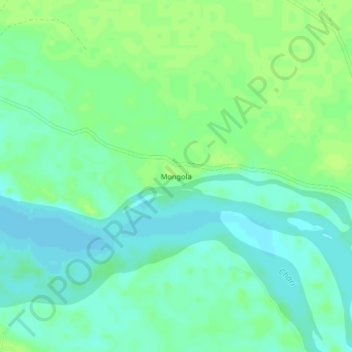
Name: Mongola topographic map, elevation, terrain.
Location: Mongola, Baranga, Chari-Baguirmi, Chad (10.56333 16.99667 10.60333 17.03667)
Average elevation: 1,102 ft
Minimum elevation: 1,079 ft
Maximum elevation: 1,122 ft
Thank you for supporting this site ❤️
Make a donation
Make a donation
Gear up for your next adventure:
As an Amazon Associate, this site earns from qualifying purchases at no extra cost to you.