
Thank you for supporting this site ❤️
Make a donation
Make a donation
Gear up for your next adventure:
As an Amazon Associate, this site earns from qualifying purchases at no extra cost to you.
Anegundi topographic map
Click on the map to display elevation.
Thank you for supporting this site ❤️
Make a donation
Make a donation
Gear up for your next adventure:
As an Amazon Associate, this site earns from qualifying purchases at no extra cost to you.
About this map
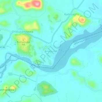
Name: Anegundi topographic map, elevation, terrain.
Location: Anegundi, Gangavati taluku, Koppal, Karnataka, India (15.33114 76.47214 15.37114 76.51214)
Average elevation: 1,407 ft
Minimum elevation: 1,319 ft
Maximum elevation: 1,903 ft
Thank you for supporting this site ❤️
Make a donation
Make a donation
Gear up for your next adventure:
As an Amazon Associate, this site earns from qualifying purchases at no extra cost to you.