
Thank you for supporting this site ❤️
Make a donation
Make a donation
Gear up for your next adventure:
As an Amazon Associate, this site earns from qualifying purchases at no extra cost to you.
Bhojwasa topographic map
Click on the map to display elevation.
Thank you for supporting this site ❤️
Make a donation
Make a donation
Gear up for your next adventure:
As an Amazon Associate, this site earns from qualifying purchases at no extra cost to you.
About this map
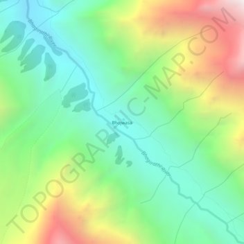
Name: Bhojwasa topographic map, elevation, terrain.
Location: Bhojwasa, Bhatwari, Uttarkashi district, Uttarakhand, India (30.93045 79.03151 30.97045 79.07151)
Average elevation: 13,986 ft
Minimum elevation: 11,877 ft
Maximum elevation: 17,949 ft
Thank you for supporting this site ❤️
Make a donation
Make a donation
Gear up for your next adventure:
As an Amazon Associate, this site earns from qualifying purchases at no extra cost to you.