
Ust-Bolsheretsky District topographic map
Interactive map
Click on the map to display elevation.
About this map
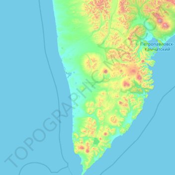
Name: Ust-Bolsheretsky District topographic map, elevation, terrain.
Average elevation: 515 ft
Minimum elevation: -10 ft
Maximum elevation: 10,397 ft