Geolocate
👉 Easily get elevation data in JSON, GeoTIFF and KML formats using Elevation API
Thank you for supporting this site ❤️
Make a donation

Boundary topographic map

Click on the map to display elevation.

About this map

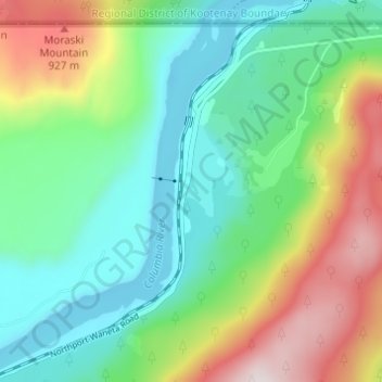
Name: Boundary topographic map, elevation, terrain.

Location: Boundary, Stevens County, Washington, United States (48.96316 -117.65719 49.00316 -117.61719)

Average elevation: 2,005 ft

Minimum elevation: 1,273 ft

Maximum elevation: 3,566 ft

Stevens County trails, hiking, mountain biking, running and outdoor activities

Gear up for your next adventure:

🦶Carbon Trekking Poles - Reduce knee impact on steep descents with ultra-light poles
🛡️Insect Repellent - Protection against bugs during outdoor activities
🏫Relief Map Kits - Hands-on tools for teaching landforms and elevation
📷Action Camera - Capture your outdoor adventures in HD
🪄Magnetic Compass - Accurate compass for navigation

As an Amazon Associate, this site earns from qualifying purchases at no extra cost to you.