
Vigasio topographic map
Click on the map to display elevation.
Vigasio
Il territorio comunale è inserito in un paesaggio agricolo della Pianura Padana, nella zona definita Basso Veronese e non molto distante dalla provincia di Mantova. Il comune comprende anche le frazioni di Forette (3,5 km a nord) e Isolalta (3 km a nord-ovest). Il capoluogo si trova a un'altitudine di 37 m s.l.m.
About this map
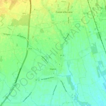
Name: Vigasio topographic map, elevation, terrain.
Location: Vigasio, Verona, Veneto, 37068, Italia (45.29173 10.90011 45.36403 10.97999)
Average elevation: 128 ft
Minimum elevation: 95 ft
Maximum elevation: 177 ft