
Jackson topographic map
Interactive map
Click on the map to display elevation.
About this map
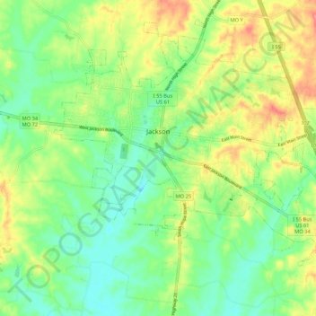
Name: Jackson topographic map, elevation, terrain.
Location: Jackson, Cape Girardeau County, Missouri, United States (37.33845 -89.70343 37.41255 -89.59726)
Average elevation: 476 ft
Minimum elevation: 371 ft
Maximum elevation: 640 ft
Cape Girardeau County trails, hiking, mountain biking, running and outdoor activities