
Hyo-dong topographic map
Click on the map to display elevation.
About this map
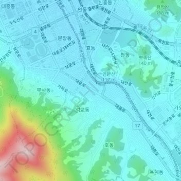
Name: Hyo-dong topographic map, elevation, terrain.
Location: Hyo-dong, Dong-gu, Daejeon, South Korea (36.30098 127.43813 36.31930 127.46830)
Average elevation: 358 ft
Minimum elevation: 177 ft
Maximum elevation: 1,263 ft