Geolocate

Seeheim topographic map

Click on the map to display elevation.

About this map

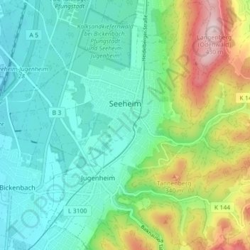
Name: Seeheim topographic map, elevation, terrain.

Location: Seeheim, Seeheim-Jugenheim, Landkreis Darmstadt-Dieburg, Hesse, 64342, Germany (49.74328 8.61825 49.78861 8.67848)

Average elevation: 617 ft

Minimum elevation: 308 ft

Maximum elevation: 1,404 ft

Other topographic maps

Click on a map to view its topography, its elevation and its terrain.

Gear up for your next adventure:

🏥Hiking First Aid Kits - Comprehensive medical kits for remote trail injuries
🥾Men's Hiking Boots - Durable, waterproof footwear for rugged terrain and steep inclines
🛡️Insect Repellent - Protection against bugs during outdoor activities
🎒Gear Packing Cubes - Organize your backpack efficiently
🪶Trail Camera - Capture wildlife on your hikes

As an Amazon Associate, this site earns from qualifying purchases at no extra cost to you.