
Thank you for supporting this site ❤️
Make a donation
Make a donation
Gear up for your next adventure:
As an Amazon Associate, this site earns from qualifying purchases at no extra cost to you.
Crastos topographic map
Click on the map to display elevation.
Thank you for supporting this site ❤️
Make a donation
Make a donation
Gear up for your next adventure:
As an Amazon Associate, this site earns from qualifying purchases at no extra cost to you.
About this map
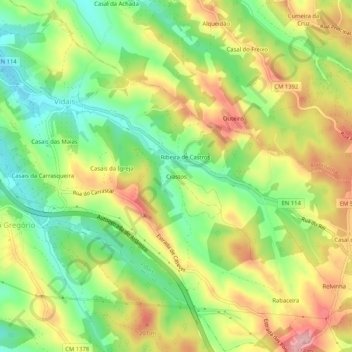
Name: Crastos topographic map, elevation, terrain.
Location: Crastos, Vidais, Caldas da Rainha, Leiria, 2500-749, Portugal (39.33985 -9.05291 39.37985 -9.01291)
Average elevation: 440 ft
Minimum elevation: 190 ft
Maximum elevation: 732 ft
Thank you for supporting this site ❤️
Make a donation
Make a donation
Gear up for your next adventure:
As an Amazon Associate, this site earns from qualifying purchases at no extra cost to you.