Geolocate

Bishopthorpe topographic map

Click on the map to display elevation.

About this map

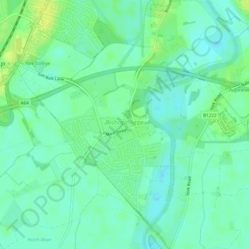
Name: Bishopthorpe topographic map, elevation, terrain.

Location: Bishopthorpe, York, England, United Kingdom (53.90851 -1.12171 53.93594 -1.07519)

Average elevation: 36 ft

Minimum elevation: 13 ft

Maximum elevation: 69 ft

Gear up for your next adventure:

😴Insulated Sleeping Pads - Compact and warm pads for high-elevation camping
🧭Orienteering Set - Complete compass and map reading kit
🖼️Topo Map Wall Art - Decorative topographic prints of famous peaks and regions
🎒Trekking Poles - Sturdy poles for balance and stability on rough terrain
🗺️Topographic Maps - Detailed topo maps for hiking, exploring and outdoor navigation

As an Amazon Associate, this site earns from qualifying purchases at no extra cost to you.