
Williams Island topographic map
Click on the map to display elevation.
About this map
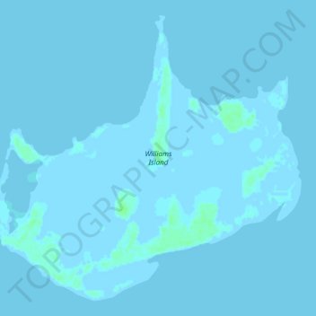
Name: Williams Island topographic map, elevation, terrain.
Location: Williams Island, North Andros, Bahamas (24.63335 -78.48368 24.68018 -78.42669)
Average elevation: 0 ft
Minimum elevation: -10 ft
Maximum elevation: 20 ft
Other topographic maps
Click on a map to view its topography, its elevation and its terrain.