Geolocate

Kamyaran County topographic map

Click on the map to display elevation.

About this map

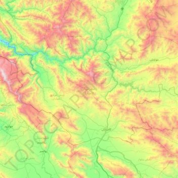
Name: Kamyaran County topographic map, elevation, terrain.

Location: Kamyaran County, Kurdistan Province, Iran (34.73657 46.52402 35.15405 47.32991)

Average elevation: 5,912 ft

Minimum elevation: 2,979 ft

Maximum elevation: 11,007 ft

Other topographic maps

Click on a map to view its topography, its elevation and its terrain.

Kamyaran

Iran > Kurdistan Province > Kamyaran County

Average elevation: 4,882 ft

Gear up for your next adventure:

Camping Coffee Makers - Enjoy premium coffee at the summit or campsite
🪵Folding Camp Saw - Compact saw for wood and campsite work
📚Navigation Handbooks - Master the art of reading topographic maps and using a compass
📱Heavy-Duty Phone Cases - Drop-proof and waterproof protection for outdoor navigation
🧴Hand Sanitizer - Keep hands clean while hiking

As an Amazon Associate, this site earns from qualifying purchases at no extra cost to you.