
Make a donation
Gear up for your next adventure:
As an Amazon Associate, this site earns from qualifying purchases at no extra cost to you.
Columbia topographic map
Click on the map to display elevation.
Make a donation
Gear up for your next adventure:
As an Amazon Associate, this site earns from qualifying purchases at no extra cost to you.
Columbia
Columbia is located in a region of massive granite intrusion that was glaciated in the Wisconsin age. The glacier caused till (unsorted, poorly drained soil) to be deposited over the entire region. This poorly drained till formed bogs and ponds and altered the drainage pattern. The underlying granite caused the till to be more thickly deposited on the northwest sides of ridges: on the southeast sides boulders were "plucked" and transported further south. Thick till deposits are also found in bedrock "valleys" and depressions. The weight of the ice (in some places a mile thick) caused the land to be depressed in relation to the level of the sea. Marine sediments (silts and clays) were deposited in valleys and more sheltered locations. The release of pressure due to the melting allowed the land to rise slowly. This explains why silt and clay deposits can be found at elevations of 100 feet (30 m) or more. Columbia contains the largest and most significant areas of marine outwash plain resulting in regionally significant deposits of sand and gravel.
Make a donation
Gear up for your next adventure:
As an Amazon Associate, this site earns from qualifying purchases at no extra cost to you.
About this map
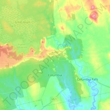
Name: Columbia topographic map, elevation, terrain.
Location: Columbia, Washington County, Maine, 04623, United States (44.62222 -67.89206 44.73480 -67.74389)
Average elevation: 131 ft
Minimum elevation: -10 ft
Maximum elevation: 394 ft
Washington County trails, hiking, mountain biking, running and outdoor activities
Make a donation
Gear up for your next adventure:
As an Amazon Associate, this site earns from qualifying purchases at no extra cost to you.