
Linusungan topographic map
Click on the map to display elevation.
About this map
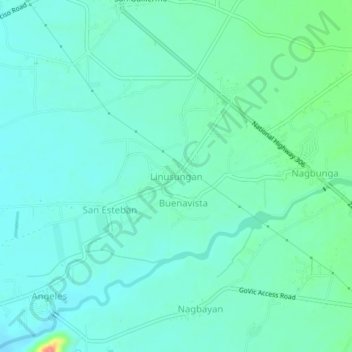
Name: Linusungan topographic map, elevation, terrain.
Location: Linusungan, Zambales, Central Luzon, 2207, Philippines (14.93133 120.14252 14.97133 120.18252)
Average elevation: 128 ft
Minimum elevation: 75 ft
Maximum elevation: 331 ft
Other topographic maps
Click on a map to view its topography, its elevation and its terrain.