
Make a donation
Gear up for your next adventure:
As an Amazon Associate, this site earns from qualifying purchases at no extra cost to you.
Basin Creek topographic map
Click on the map to display elevation.
Make a donation
Gear up for your next adventure:
As an Amazon Associate, this site earns from qualifying purchases at no extra cost to you.
About this map
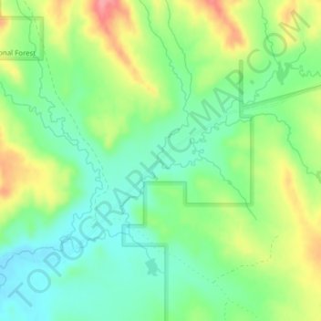
Name: Basin Creek topographic map, elevation, terrain.
Location: Basin Creek, Powder River County, Montana, United States (45.60094 -106.09538 45.60105 -106.09532)
Average elevation: 3,307 ft
Minimum elevation: 3,192 ft
Maximum elevation: 3,494 ft
Powder River County trails, hiking, mountain biking, running and outdoor activities
Make a donation
Gear up for your next adventure:
As an Amazon Associate, this site earns from qualifying purchases at no extra cost to you.
Other topographic maps
Click on a map to view its topography, its elevation and its terrain.
Olive
United States > Montana > Powder River County > Olive
Olive (also Rocky Point) is an unincorporated community in north central Powder River County, Montana, United States. It lies along Highway 59 northwest of the town of Broadus, the county seat of Powder River County. Its elevation is 3,232 feet (985 m).
Average elevation: 3,284 ft