
Drosh topographic map
Click on the map to display elevation.
Drosh
Khowar and Pashto languages are the language spoken by the majority of the people in Drosh. As Drosh is low elevation and is the large village in Chitral District on the traditional trade route to Drosh-Jalalabad road.
About this map
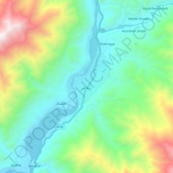
Name: Drosh topographic map, elevation, terrain.
Average elevation: 6,073 ft
Minimum elevation: 4,075 ft
Maximum elevation: 11,165 ft