
Ware topographic map
Click on the map to display elevation.
About this map
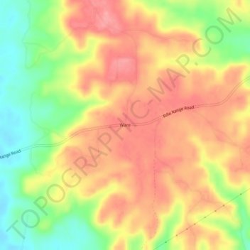
Name: Ware topographic map, elevation, terrain.
Location: Ware, Elmore County, Alabama, United States (32.43653 -86.07080 32.47653 -86.03080)
Average elevation: 348 ft
Minimum elevation: 174 ft
Maximum elevation: 472 ft
Elmore County trails, hiking, mountain biking, running and outdoor activities