
Thank you for supporting this site ❤️
Make a donation
Make a donation
Gear up for your next adventure:
As an Amazon Associate, this site earns from qualifying purchases at no extra cost to you.
Sant'Apollinare topographic map
Click on the map to display elevation.
Thank you for supporting this site ❤️
Make a donation
Make a donation
Gear up for your next adventure:
As an Amazon Associate, this site earns from qualifying purchases at no extra cost to you.
About this map
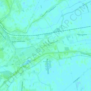
Name: Sant'Apollinare topographic map, elevation, terrain.
Location: Sant'Apollinare, Rovigo, Veneto, 45100, Italia (45.02095 11.80240 45.06095 11.84240)
Average elevation: 7 ft
Minimum elevation: -3 ft
Maximum elevation: 20 ft
Thank you for supporting this site ❤️
Make a donation
Make a donation
Gear up for your next adventure:
As an Amazon Associate, this site earns from qualifying purchases at no extra cost to you.