Geolocate

Costa di Rovigo topographic map

Click on the map to display elevation.

About this map

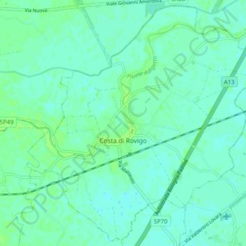
Name: Costa di Rovigo topographic map, elevation, terrain.

Location: Costa di Rovigo, Rovigo, Veneto, Italia (45.02815 11.66681 45.07612 11.73769)

Average elevation: 13 ft

Minimum elevation: 0 ft

Maximum elevation: 30 ft

Gear up for your next adventure:

🎒Gear Packing Cubes - Organize your backpack efficiently
☀️Outdoor Sunscreen - High protection sunscreen for outdoor activities
🛡️Bear Spray Outdoor - Protection in bear country hikes
🔭Telescopic Hiking Pole - Adjustable pole for hiking stability
🕶️GPS Smartphone Mount - Secure mount for phone navigation

As an Amazon Associate, this site earns from qualifying purchases at no extra cost to you.