
Thank you for supporting this site ❤️
Make a donation
Make a donation
Gear up for your next adventure:
As an Amazon Associate, this site earns from qualifying purchases at no extra cost to you.
Montoso topographic map
Click on the map to display elevation.
Thank you for supporting this site ❤️
Make a donation
Make a donation
Gear up for your next adventure:
As an Amazon Associate, this site earns from qualifying purchases at no extra cost to you.
About this map
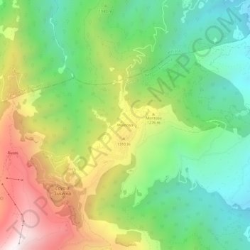
Name: Montoso topographic map, elevation, terrain.
Location: Montoso, Bagnolo Piemonte, Cuneo, Piemonte, Italia (44.74198 7.22397 44.78198 7.26397)
Average elevation: 3,481 ft
Minimum elevation: 1,916 ft
Maximum elevation: 5,912 ft
Thank you for supporting this site ❤️
Make a donation
Make a donation
Gear up for your next adventure:
As an Amazon Associate, this site earns from qualifying purchases at no extra cost to you.