
Межозёрное городское поселение topographic map
Interactive map
Click on the map to display elevation.
About this map
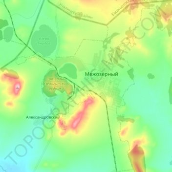
Name: Межозёрное городское поселение topographic map, elevation, terrain.
Average elevation: 1,722 ft
Minimum elevation: 1,519 ft
Maximum elevation: 2,195 ft