
Stahl topographic map
Click on the map to display elevation.
About this map
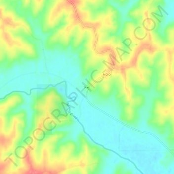
Name: Stahl topographic map, elevation, terrain.
Location: Stahl, Adair County, Missouri, United States (40.27141 -92.80909 40.31141 -92.76909)
Average elevation: 879 ft
Minimum elevation: 784 ft
Maximum elevation: 1,017 ft
Adair County trails, hiking, mountain biking, running and outdoor activities
Other topographic maps
Click on a map to view its topography, its elevation and its terrain.