Geolocate

Eulogy topographic map

Click on the map to display elevation.

About this map

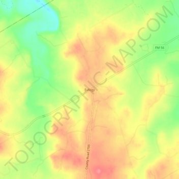
Name: Eulogy topographic map, elevation, terrain.

Location: Eulogy, Bosque County, Texas, United States (32.14931 -97.67586 32.18931 -97.63586)

Average elevation: 725 ft

Minimum elevation: 584 ft

Maximum elevation: 827 ft

Bosque County trails, hiking, mountain biking, running and outdoor activities

Other topographic maps

Click on a map to view its topography, its elevation and its terrain.

Iredell

United States > Texas > Bosque County

Average elevation: 912 ft

Walnut Springs

United States > Texas > Bosque County

Average elevation: 942 ft

Cranfills Gap

United States > Texas > Bosque County

Average elevation: 997 ft

Meridian

United States > Texas > Bosque County

Average elevation: 804 ft

Morgan

United States > Texas > Bosque County

Average elevation: 745 ft

Clifton

United States > Texas > Bosque County

Average elevation: 715 ft

Gear up for your next adventure:

🔥Camping Stove - Portable stove for camping and backcountry cooking
🪶Paracord Bracelet - Survival bracelet with built‑in tools
🌎3D Topographic Globes - Raised relief globes for a tactile understanding of geography
🧥Men's Rain Shells - Premium waterproof and breathable jackets for mountain weather
Solar GPS Watches - Advanced multisport watches with built-in topographic maps

As an Amazon Associate, this site earns from qualifying purchases at no extra cost to you.