Geolocate

Spring Valley topographic map

Click on the map to display elevation.

About this map

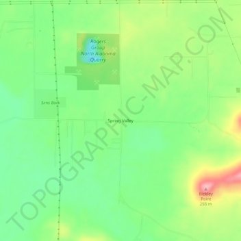
Name: Spring Valley topographic map, elevation, terrain.

Location: Spring Valley, Colbert County, Alabama, United States (34.63676 -87.63670 34.67676 -87.59670)

Average elevation: 528 ft

Minimum elevation: 344 ft

Maximum elevation: 823 ft

Colbert County trails, hiking, mountain biking, running and outdoor activities

Other topographic maps

Click on a map to view its topography, its elevation and its terrain.

Cherokee

United States > Alabama > Colbert County

Average elevation: 541 ft

Littleville

United States > Alabama > Colbert County

Average elevation: 689 ft

Sheffield

United States > Alabama > Colbert County

Average elevation: 495 ft

Gear up for your next adventure:

⛑️Personal Locator Beacon - Safety beacon for emergencies
Camping Coffee Makers - Enjoy premium coffee at the summit or campsite
🪶Survival Guide Book - Expert advice for emergency preparedness
🌄Hiking Binoculars - Compact binoculars for scenic views and trail spotting
🧭Hiking Compass - Precision compass for reliable navigation in the wilderness

As an Amazon Associate, this site earns from qualifying purchases at no extra cost to you.