Waverly topographic map
Interactive map
Click on the map to display elevation.
About this map
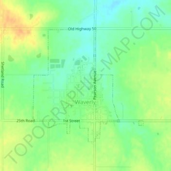
Name: Waverly topographic map, elevation, terrain.
Location: Waverly, Coffey County, Kansas, United States (38.38712 -95.61267 38.40488 -95.59039)
Average elevation: 1,129 ft
Minimum elevation: 1,079 ft
Maximum elevation: 1,188 ft
Other topographic maps
Click on a map to view its topography, its elevation and its terrain.
Gridley
United States > Kansas > Coffey County
Gridley, Coffey County, Kansas, United States
Average elevation: 1,148 ft
Lebo
United States > Kansas > Coffey County
Lebo, Coffey County, Kansas, United States
Average elevation: 1,152 ft
New Strawn
United States > Kansas > Coffey County
New Strawn, Coffey County, Kansas, United States
Average elevation: 1,102 ft
Burlington
United States > Kansas > Coffey County
Burlington, Coffey County, Kansas, United States
Average elevation: 1,033 ft
LeRoy
United States > Kansas > Coffey County
LeRoy, Coffey County, Kansas, 66857, United States
Average elevation: 1,004 ft