
Thank you for supporting this site ❤️
Make a donation
Make a donation
Gear up for your next adventure:
As an Amazon Associate, this site earns from qualifying purchases at no extra cost to you.
Derryfubble topographic map
Click on the map to display elevation.
Thank you for supporting this site ❤️
Make a donation
Make a donation
Gear up for your next adventure:
As an Amazon Associate, this site earns from qualifying purchases at no extra cost to you.
About this map
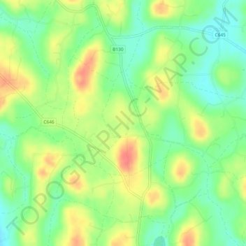
Name: Derryfubble topographic map, elevation, terrain.
Location: Derryfubble, Armagh, Northern Ireland, United Kingdom (54.43565 -6.76717 54.44723 -6.75339)
Average elevation: 207 ft
Minimum elevation: 121 ft
Maximum elevation: 308 ft
Thank you for supporting this site ❤️
Make a donation
Make a donation
Gear up for your next adventure:
As an Amazon Associate, this site earns from qualifying purchases at no extra cost to you.