
Make a donation
Gear up for your next adventure:
As an Amazon Associate, this site earns from qualifying purchases at no extra cost to you.
Kelso topographic map
Click on the map to display elevation.
Make a donation
Gear up for your next adventure:
As an Amazon Associate, this site earns from qualifying purchases at no extra cost to you.
About this map
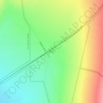
Name: Kelso topographic map, elevation, terrain.
Location: Kelso, San Bernardino County, California, United States (34.99176 -115.67154 35.03176 -115.63154)
Average elevation: 2,165 ft
Minimum elevation: 2,021 ft
Maximum elevation: 2,362 ft
Make a donation
Gear up for your next adventure:
As an Amazon Associate, this site earns from qualifying purchases at no extra cost to you.
Other topographic maps
Click on a map to view its topography, its elevation and its terrain.
Big Bear Lake
United States > California > San Bernardino County
Since 1970, Big Bear Lake has held an annual Oktoberfest. The Big Bear Lake Oktoberfest sports the highest beer garden, by elevation, in the United States. Big Bear Lake was incorporated as a city on November 28, 1980.
Average elevation: 7,182 ft
Chino Hills
United States > California > San Bernardino County
Due to its topography of rolling hills, Chino Hills was primarily rural prior to the mid-1970s; most land was utilized for equestrian purposes and for dairies, except for the multi-use purposes of the State of California, promoting jobs for the community through day labor from the Chino Institute for Men on…
Average elevation: 837 ft