
Savi topographic map
Click on the map to display elevation.
About this map
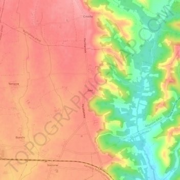
Name: Savi topographic map, elevation, terrain.
Location: Savi, Villanova d'Asti, Asti, Piemonte, 14021, Italia (44.95875 7.94097 44.99875 7.98097)
Average elevation: 807 ft
Minimum elevation: 597 ft
Maximum elevation: 928 ft