Geolocate

Moore topographic map

Click on the map to display elevation.

About this map

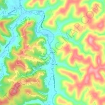
Name: Moore topographic map, elevation, terrain.

Location: Moore, Roane County, West Virginia, 25270, United States (38.86258 -81.42762 38.90258 -81.38762)

Average elevation: 873 ft

Minimum elevation: 659 ft

Maximum elevation: 1,115 ft

Roane County trails, hiking, mountain biking, running and outdoor activities

Other topographic maps

Click on a map to view its topography, its elevation and its terrain.

Spencer

United States > West Virginia > Roane County

Average elevation: 866 ft

Gear up for your next adventure:

🥾Hiking Shoes - Durable and comfortable shoes for trail hiking
🔌USB Car Charger - Car charger for on‑the‑go power needs
🥾Women's Hiking Boots - Top-rated trail boots with ankle support and superior grip
🔋Rechargeable Batteries - Power up your outdoor devices
🔭Stargazing Telescopes - Perfect for camping in low-light pollution areas shown on maps

As an Amazon Associate, this site earns from qualifying purchases at no extra cost to you.