Geolocate

Lomax topographic map

Click on the map to display elevation.

About this map

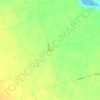
Name: Lomax topographic map, elevation, terrain.

Location: Lomax, Howard County, Texas, United States (32.09651 -101.66013 32.13651 -101.62013)

Average elevation: 2,503 ft

Minimum elevation: 2,448 ft

Maximum elevation: 2,536 ft

Howard County trails, hiking, mountain biking, running and outdoor activities

Other topographic maps

Click on a map to view its topography, its elevation and its terrain.

Big Spring

United States > Texas > Howard County

Average elevation: 2,562 ft

Gear up for your next adventure:

🏕️Family Camping Gear - Essentials for group camping trips
🧣Hiking Neck Gaiter - Multi‑use neck protection for outdoor weather
🏕️Tent Footprint - Protect your tent base from wear
🛰️Handheld GPS Units - Professional satellite navigators for precise backcountry mapping
🪶Compact Camp Shovel - Folding shovel for campsite tasks

As an Amazon Associate, this site earns from qualifying purchases at no extra cost to you.